HOME

PRODUCTS  (www.hexamite.com)

Navigation FRAME

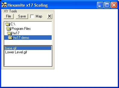
HX17Mapping and HX17xyzViewer

To graph images using the HX17xyzViewer, the xyz in terms of millimeters must be properly scaled to match the pixels available for the graph. Hx17Mapping is used to relate the ultrasonic receiver or transmitter grid to the background image provided by the user in a gif format. Both hx17xyzViewer and Hx17mapping are installed in program files. 

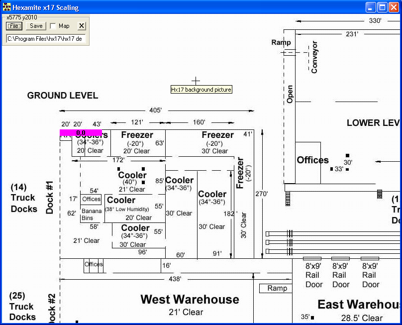
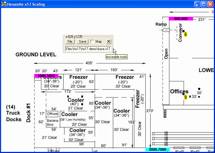
The toolbox on the right is moveable, and for this discussion we select base.gif, in this example it is the base drawing for a sample complex, but it can be any drawing or gif image. Scaling is about setting the top left corner as the start of the confine, and the bottom left as the end of the confine. Your mapped receiver or transmitter files must fit within these confines set in millimeters. Move the mouse cross to the point that is to be your start and right click with the mouse, a light magenta text window appears, type the coordinates of the top left corner of your confine. 

Color of the start point is light magenta, and color of the end point is always light cyan, the text window indicates that the confine settings will be saved on file base.x17. And for the end point type the coordinates of the endpoint of the confine, then click save. The text window can be changed to any file name for saving. But if not changed it will default to the name of the background image. base.x17 is stored in text format this allows the file to be viewed using notepad. Note that many confines may be defined on the same image.

Given that the receivers or the transmitters have been mapped like follows: map.txt. Download the HX17mapping program and test run on your computer. The mapping program can be uninstalled using ADD and REMOVE programs in the control panel when it is no longer needed.

map.txt:

6 1000 1000 0
7 1950 1000 0
8 1950 1950 0
9 1000 1950 0

If the section shown as Lower Level on the base architectural drawing for the sample complex has been confined as follows, then a new scaling file for example [Lower Level.x17] can be created. Place this file along with [Lower Level.gif] image file in a directory of your choice, double click on the file [Lower Level.x17], and select "Open with Hx17 xyz Viewer": Then the map will appear in the Hx17 xyz Viewer graphic window as illustrated below. If a tag is detected within these confines. The image associated with that tag will be shown by the "hx17xy viewer"  at it's relative position, in which ever confines visible on your computer. Be that on  [base.gif] or [Lower Level.gif]. The upper left corner or the tag image is the point where the receiver or transmitter is located (see hx17xy viewer).

 [Map.txt] file is located in the mapImages directory this file must contain the correct relative placement of each receiver grid. [Map.txt] is used by all hx17 programs when computing or showing the position of the tag.

>>

Copyright © 1999 [Hexamite]. All rights reserved. Revised: December 16, 2016 .

<<